September 1, 2025

Uncategorized

POLARIN Opens Second Transnational Access Call for Polar Research

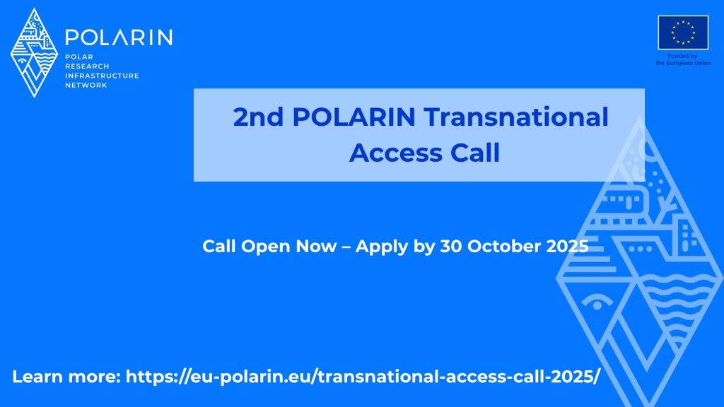
POLARIN Opens Second Transnational Access Call for Polar Research Today, we are excited to announce the opening of POLARIN’s second Transnational Access (TA) Call, offering researchers the opportunity to apply for free access to 42 polar research infrastructures in the Arctic and Antarctic. Applicants are invited to align their proposals with at least one of POLARIN’s seven priority research themes: Sea Ice and Polar Oceans in the Climate System Polar Ice Sheets, Glaciers, and Sea Level Terrestrial Carbon Cycle and Permafrost Polar Ecosystems and Biodiversity Atmosphere Dynamics and Chemistry Paleoclimate Processes and Variability Humans, Societies, and Global Changes Key Dates and Application Process The call is now open, with proposals due by October 30, 2025, at 16:00 CET. Successful applicants will be notified in mid-March 2026, with project negotiations expected to follow in April 2026. Support for Applicants To help researchers prepare their submissions, POLARIN is hosting two online events: Brokerage Event – September 2, 2025 (15:00–17:00 CEST): The event will provide and an overview of the POLARIN project and its Transnational Access Calls, highlight some of the offered research infrastructures and briefly introduce the new POLARIN Geographic Information System (GIS). Learn more and register here. Information Webinar for Applicants – September 18, 2025 (10:30–12:00 CEST): The seminar will cover the application and evaluation process, as well as the principles of Transnational Access. A dedicated Q&A session will give participants the opportunity to address specific queries. The webinar can be accessed via this link: https://oulu.zoom.us/j/69306892467. Why It Matters POLARIN’s TA programme offers both in-person and remote access to cutting-edge facilities, lowering barriers for global researchers and strengthening international collaboration in polar science. The project’s first TA call attracted nearly 100 proposals, highlighting the strong demand for open access to polar research infrastructures and reinforcing POLARIN’s leadership in advancing climate and environmental science at the poles. Learn more about POLARIN’s second TA call here.

Uncategorized

POLARIN Launches New GIS Platform for Polar Research Planning

POLARIN Launches New GIS Platform for Polar Research Planning  “The POLARIN GIS is designed to empower researchers by providing a dynamic, user-friendly platform that centralizes information about polar research stations. Our vision is to streamline polar research facility metadata and strengthen international scientific cooperation across the network.”  Elmer Topp-Jørgensen, Special Advisor at Aarhus University and coordinator of the POLARIN GIS developments Today, POLARIN officially launches its Geographic Information System (GIS) platform, designed to transform the planning and coordination of polar research activities. POLARIN GIS is an online tool that allows institutions to share detailed information about polar research infrastructure and their surrounding environments. The platform will feature data on 38 arctic and antarctic research stations within the POLARIN network. Scientists can use POLARIN GIS to:  Search for stations that suit specific research needs for a POLARIN TA project. Read all about the individual research stations where they intend to apply for POLARIN TA. Find links to station websites, contact information, etc. to inquire about feasibility of proposed POLARIN TA projects. Managers and staff can directly access and edit the information, ensuring that scientists are informed of the latest updates. The launch of POLARIN GIS marks a significant step toward more integrated and data-driven polar research operations. “This GIS platform represents a major milestone for POLARIN. It not only enhances how we coordinate research activities but also strengthens the collaboration between our partner institutions. By providing a centralized, accessible, and customizable tool, we are setting the foundation for more efficient and impactful polar research in the years to come.”  Veronica Willmott Puig, Alfred-Wegener-Institut Helmholtz-Zentrum für Polar- und Meeresforschung, POLARIN Project Manager  A short presentation of the POLARIN GIS will take place during the POLARIN Brokerage Event for the 2nd Transnational Access Call on September 2 (15:00–17:00 CEST). Interested participants can register here.

Scroll to Top